Inspired by our walks, I drew this and posted it on my cartooning blog, (www.marging.com) last year.
It depicts some of our experiences in the neighborhoods and describes a new way to navigate the city.
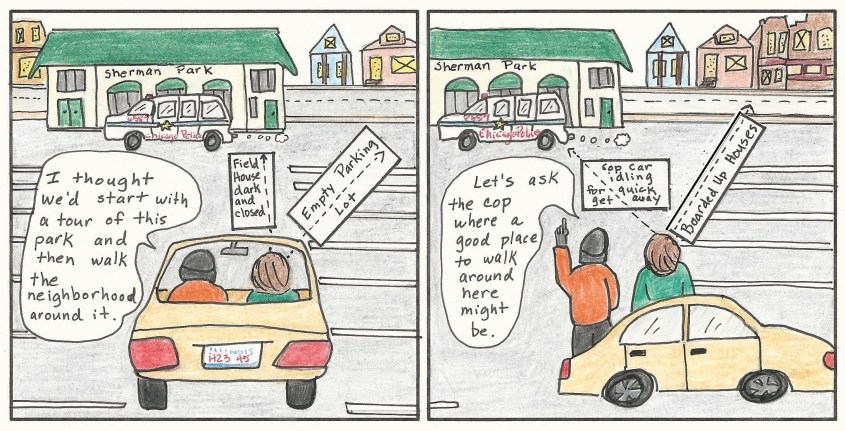
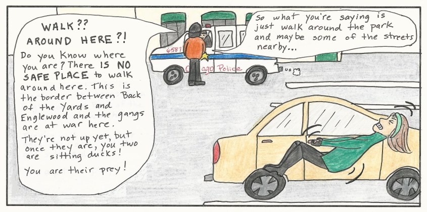
(A couple of notes: Bob is my cartoon depiction of Ed, and, just to reassure you, the Sherman Park walk is NOT listed on this blog, nor any other “iffy” walk.)
The Dead Chicken
Bob and I love to walk the neighborhoods of Chicago.
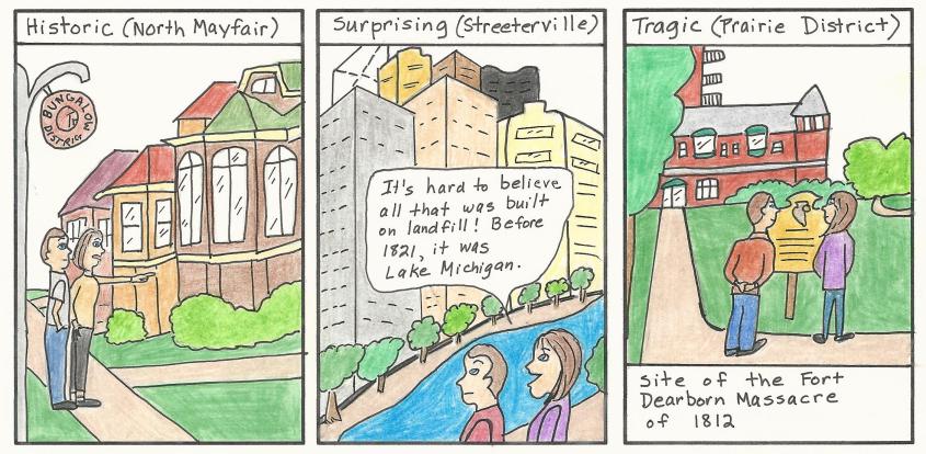
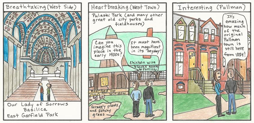
Over the last two years, we’ve enjoyed long walks through 35 of Chicago’s 77 neighborhoods. Each is unique and comes with its own set of fascinating sights.
Bob and I take turn planning our walks.
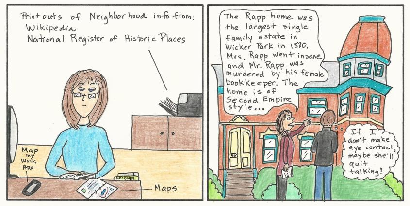
Sometimes I organize our excursions:
And sometimes Bob chooses our next adventures:
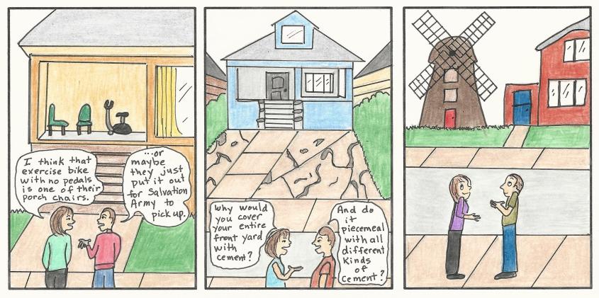
We always learn something new about the history, culture and people of our city. We frequently come across peculiar things we can’t explain, but we always have fun trying.
Perhaps the strangest thing we’ve seen on any of our walks was a dead chicken. We were walking in the Avondale neighborhood along the Chicago River on a sidewalk bordering some nice condos.
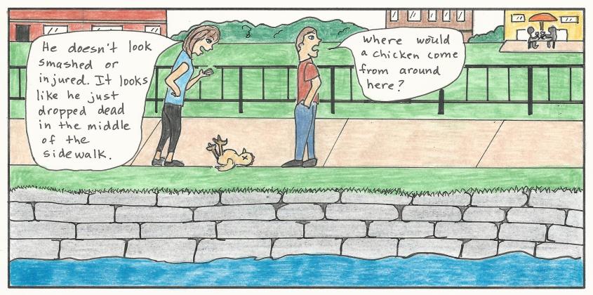
It seemed odd to see people going about their lives, oblivious to the dead chicken in their midst.
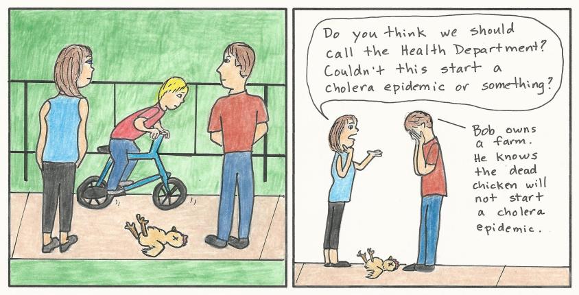
We moved on and finished our walk, but the dead chicken left an impression. At first, it was a passing reference.
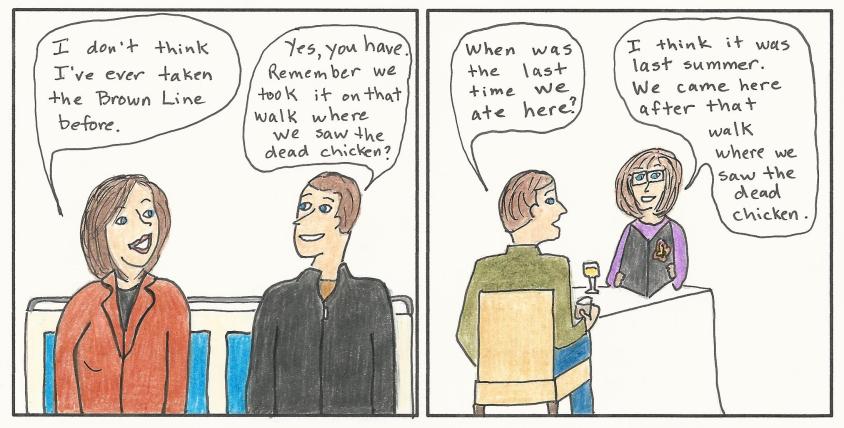
But after a while, we used it primarily as a geographical reference.
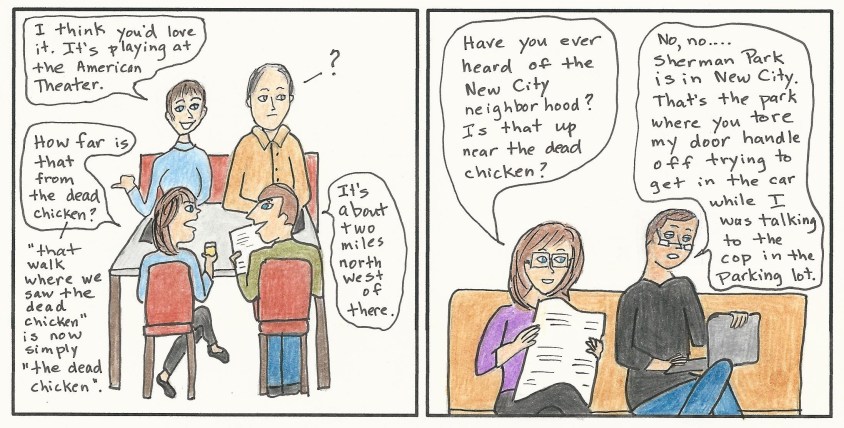
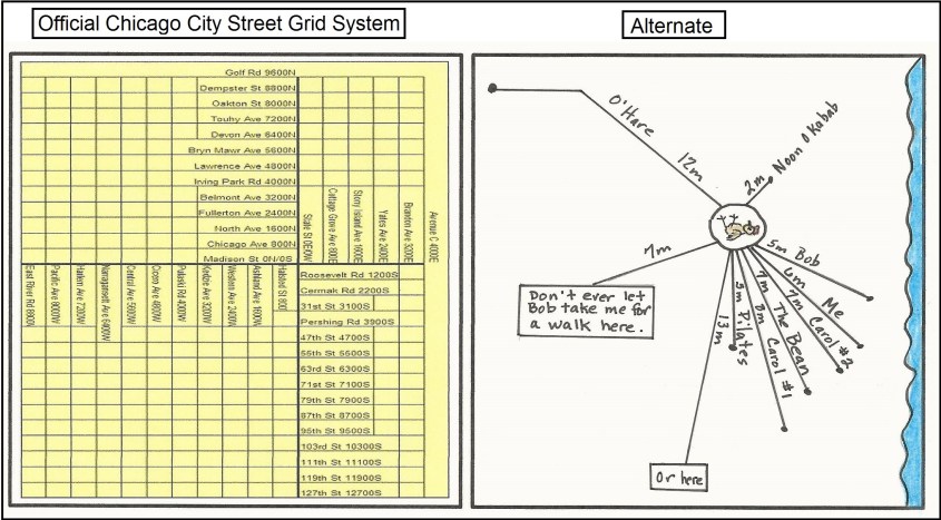
It’s not that I don’t understand the city street grid system, but having a memorable point of reference just makes more sense to me. Eventually, the dead chicken became the State and Madison of an alternate way of describing city locations.
Bob and I recently started our third year of walking and exploring Chicago’s neighborhoods. We look forward to seeing more special and interesting sights, but doubt any will ever replace the dead chicken.
